How far is it from Santo Domingo to Barahona?
Road from Santo Domingo to Barahona
Barahona is located about 113 miles (184 kilometers) away (3h30 hours by car) from the capital of the Dominican Republic, Santo Domingo.
From Place de la Bandera, take the southern highway to San Cristobal, then the Sánchez to Bani highway, cross Azua to finally reach Barahona (the pearl of the south).
The trip by car or bus allows you to admire many different landscapes from the rest of the country, this part of the Dominican Republic is quite dry.
In general, the road is in good condition, but you have to be careful.
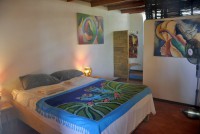
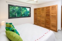
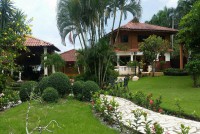
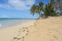
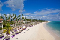
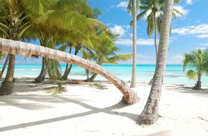
Barahona is located on the edge of the Caribbean Sea with some hotels, aparthotels and villas for vacations and weekends.
Tourism in Barahona is quite developed.
It is mainly local tourism that has developed, international tourism is underdeveloped, probably due to the remoteness of the province from the main tourist centers such as Punta Cana Cap Cana and Puerto Plata.
In Santo Domingo, the SINCHOMIBA (Barahona Drivers and Minibus Owners Union) stop is located on Calle Dr. Betances, it is the most economical way to go in Barahona.
Map from Santo Domingo to Barahona
Distances to other cities in the south of the Dominican Republic
- Distance from Barahona to Azua: 45 miles
- Distance from Barahona to Bani: 77 miles
- Distance from Barahona to Pedernales: 76 miles
- Distance from Barahona to Los Patos: 33 miles
- Distance from Barahona to Neiba: 36 miles
- Distance from Barahona to La Descubierta: 58 miles
More establishments in Barahona - Dominican Republic


