How far is it from Santo Domingo to Punta Cana?
Route from Santo Domingo East to Punta Cana
Punta Cana Bavaro is located approximately 112 miles (180 km and 2 hours by car) from the capital of the Dominican Republic, Santo Domingo.
From the eastern part of Santo Domingo (Juan Carlos bridge at the exit of the city) take the Las Américas highway, pass the airport toll and continue on the road to Boca Chica. Leave Juan Dolio on the right, divert San Pedro De Macoris, Take the new eastern road which bypasses La Romana to reach Punta Cana/Bavaro/Cap Cana.
The road traffic is quite important until Boca Chica because this road is very busy to get to the airport, the commercial port of Caucedo and the free zone of Las Americas. There are lots of cars, trucks, buses, buses and motorbikes. The road is in good condition. If necessary, along the route there are stops for food and drink. Road traffic is then less important until Punta Cana.
Please note that there are 4 tolls between Santo Domingo and Punta Cana.
The Expreso Bávaro bus company provides this connection, it takes about 3 hours by bus to make the trip.
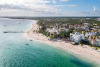
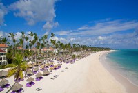
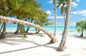
Tourism is very developed, it is the largest tourist area in the Dominican Republic, and it continues to develop. There are dozens of all-inclusive resorts, charming hotels, apart-hotels, villas for rent, residences, bars, restaurants, shopping centers, amusement parks... everything for a dream vacation.
Map of Santo Domingo Este to Punta Cana Bavaro
Distances to other cities in the east of the Dominican Republic
- Distance between Punta Cana and Boca Chica : 97.5 miles
- Distance between Punta Cana and Bayahibe : 43.5 miles
- Distance between Punta Cana and Higuey: 29 miles
- Distance between Punta Cana and Miches : 63 miles
- Distance between Punta Cana and La Romana : 48 miles
- Distance between Punta Cana and Juan Dolio : 82.6 miles
- Distance between Punta Cana and Samana : 186 miles
More establishments in Punta Cana - Dominican Republic
