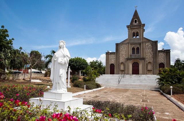
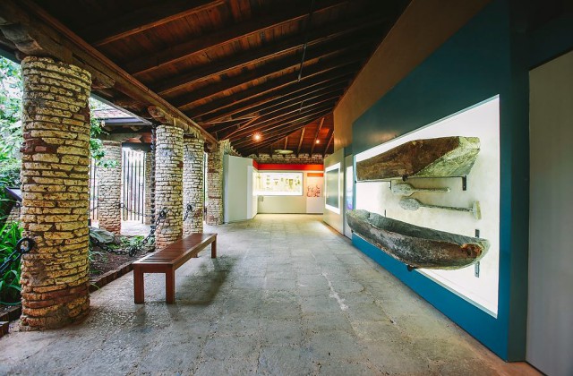
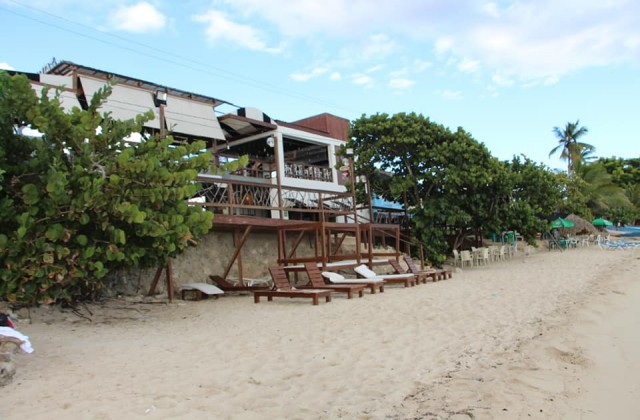
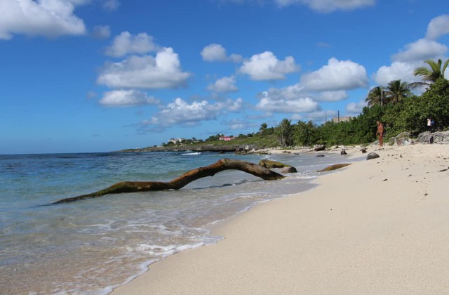
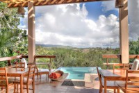
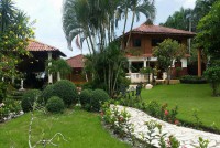
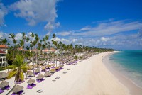
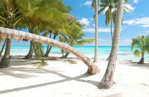
Pictures: La Romana
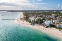
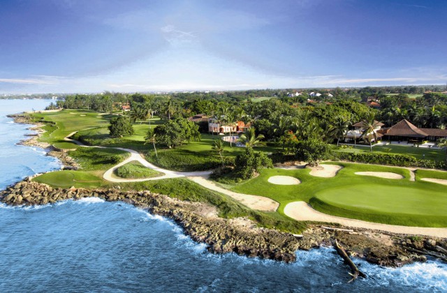
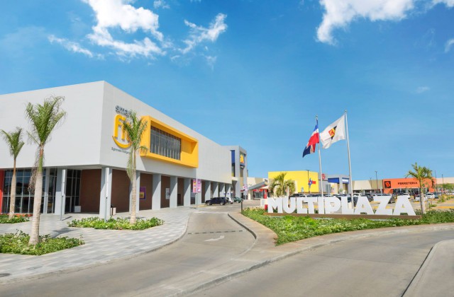
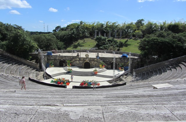
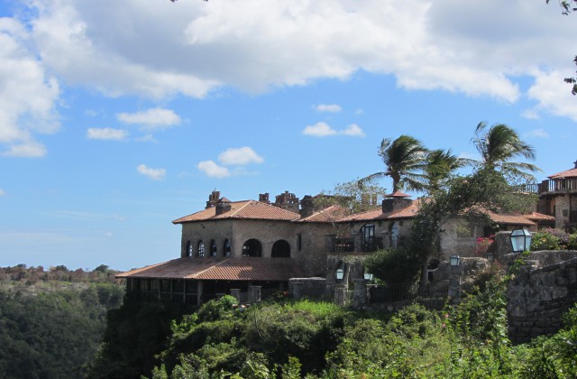
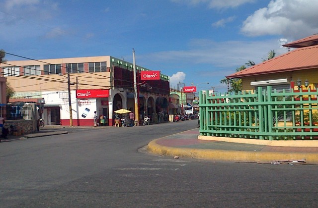
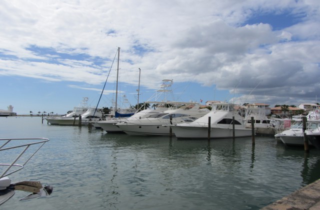
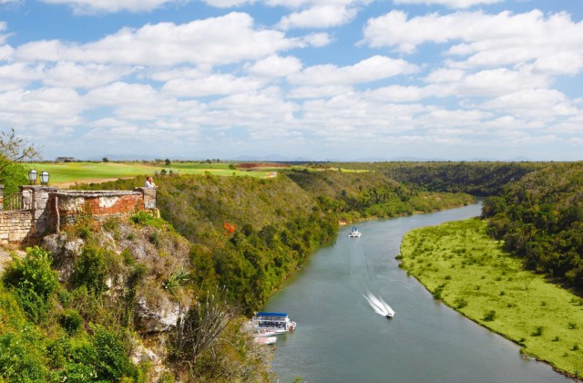
La Romana is located on the Caribbean coast of the Dominican Republic, halfway between Santo Domingo and Punta Cana. It was in La Romana lies the famous Casa de Campo, Alto de Chavon and Catalina island national park.
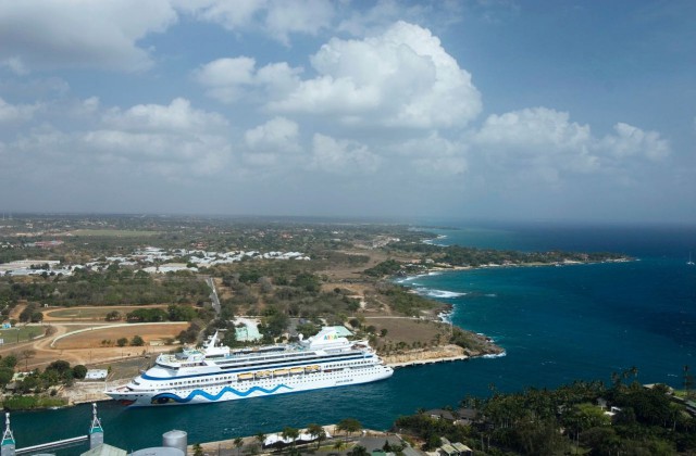
The main economic activities, after tourism, are the cultivation of sugar cane for the production of sugar and the breeding of cattle for milk and meat. It is also a cruise port where many cruise ships stop over.
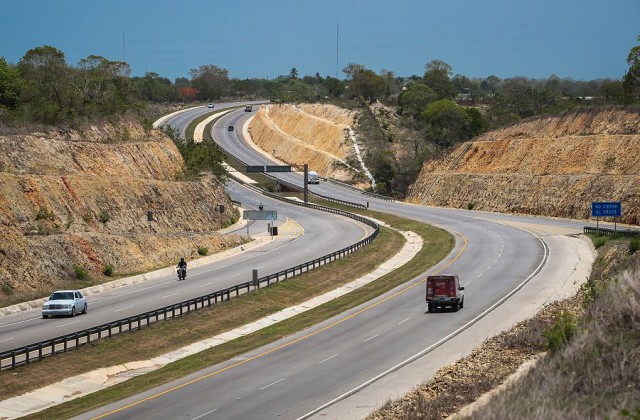
La Romana benefits from an exceptional geographical location, less than 2 hours from Santo Domingo, which makes it possible to visit the Colonial Zone and less than an hour from Punta Cana. The beautiful beaches of Bayahibe are 25 minutes away.
For more information on attractions and places of interest in the area, visit our page dedicated to tourism in La Romana.
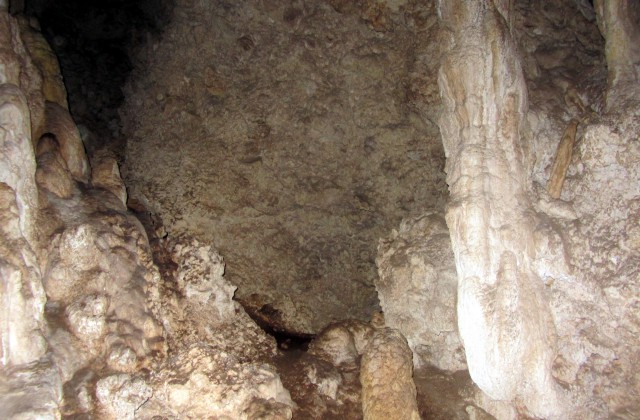
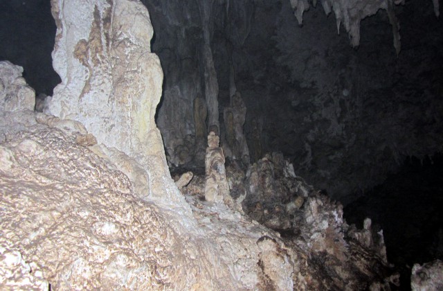
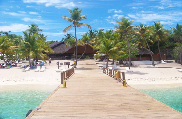
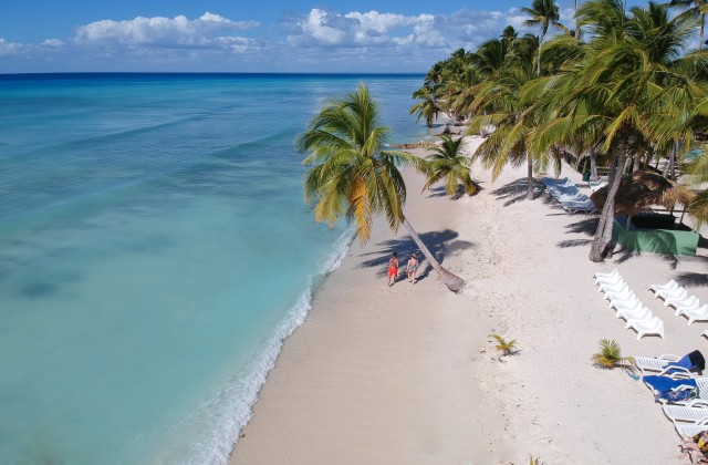
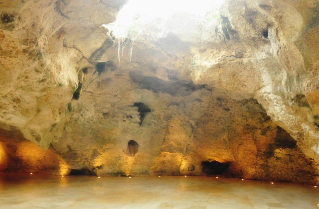
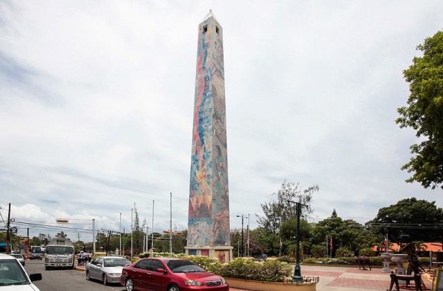
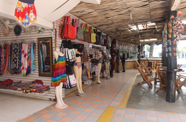
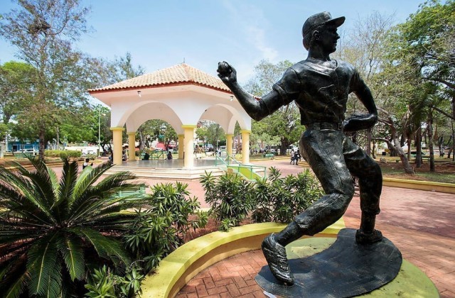
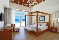
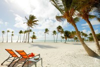
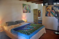
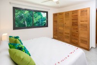
Pictures of La Romana - Dominican Republic
More Pictures of the Dominican Republic
- Pictures of Santo Domingo
- Pictures of Boca Chica
- Pictures of Juan Dolio
- Pictures of La Romana
- Pictures of Bayahibe
- Pictures of Punta Cana
- Pictures of Samana
- Pictures of Las Terrenas
- Pictures of Las Galeras
- Pictures de Rio San Juan
- Pictures of Puerto Plata
- Pictures of Sosua
- Pictures of Montecristi
- Pictures of Barahona
- Various Pictures
- Pictures of Boca de Yuma
- Pictures of Miches
- Pictures of Pedernales
- Pictures of Dominican Beaches
- Pictures of La Vega
- Pictures of Jarabacoa
- Pictures of Constanza
- Pictures of Higuey
- Pictures of Santiago de los Caballeros
- Pictures of Cabrera
- Pictures of San Juan de la Maguana
- Pictures of Cabarete
- Pictures of Nagua
- Pictures of San Jose de las Matas
- Pictures of Hato Mayor
- Pictures of Bayaguana
- Pictures of San Pedro de Macoris
- Pictures of Guayacanes
- Pictures of Cumayasa
- Pictures of Casa De Campo
- Pictures of Saona
- Pictures of Sabana de la Mar
- Pictures of Cap Cana
- Pictures of El Seibo
- Pictures of San Francisco de Macoris
More establishments in La Romana - Dominican Republic
